Day 063: Clovelly to Appledore
Distance: 15.58 miles
Ascent: 4333 feet
Weather: Rain Most of Day, Heavy At times
Accommodation: Sian's Flat, Appledore
I had a lovely night’s sleep and woke with a possible new plan for today in my mind. I had been offered accommodation in Appledore (in fact several offers), and I decided based on the water issues around Clovelly and the lack of certain shops I would walk today and move my rest day back to tomorrow.
After my issues yesterday, I should state that my room in the Red Lion was lovely, with a great view and the service and breakfast was also very good. When I came to pay as I was about to leave, the manager told me that the owner/manager of the whole Clovelly estate had seen my ranting message yesterday (I am not sure how) and by way of apology had made my room at the Red Lion complimentary.
So, I was off, and the first challenge of the day was climbing up the very steep cobbled street to the top of the village, passed a plethora of very quaint cottages and also their sleds which are used to get supplies down the steep cobbled streets. At this point I should have joined the coast path, but for the first time properly on the whole walk I went the wrong way. I must have been daydreaming because when I should have turned onto the Hobby Drive, I carried on heading up a very steep cobbled section to near Wrinkleberry. When I reached a road, a road that I clearly shouldn’t have I realised that I had been an idiot and had to turn around and head back down. This whole wrong turn probably only added about 1km (15 minutes on) but I felt like a right plonker.
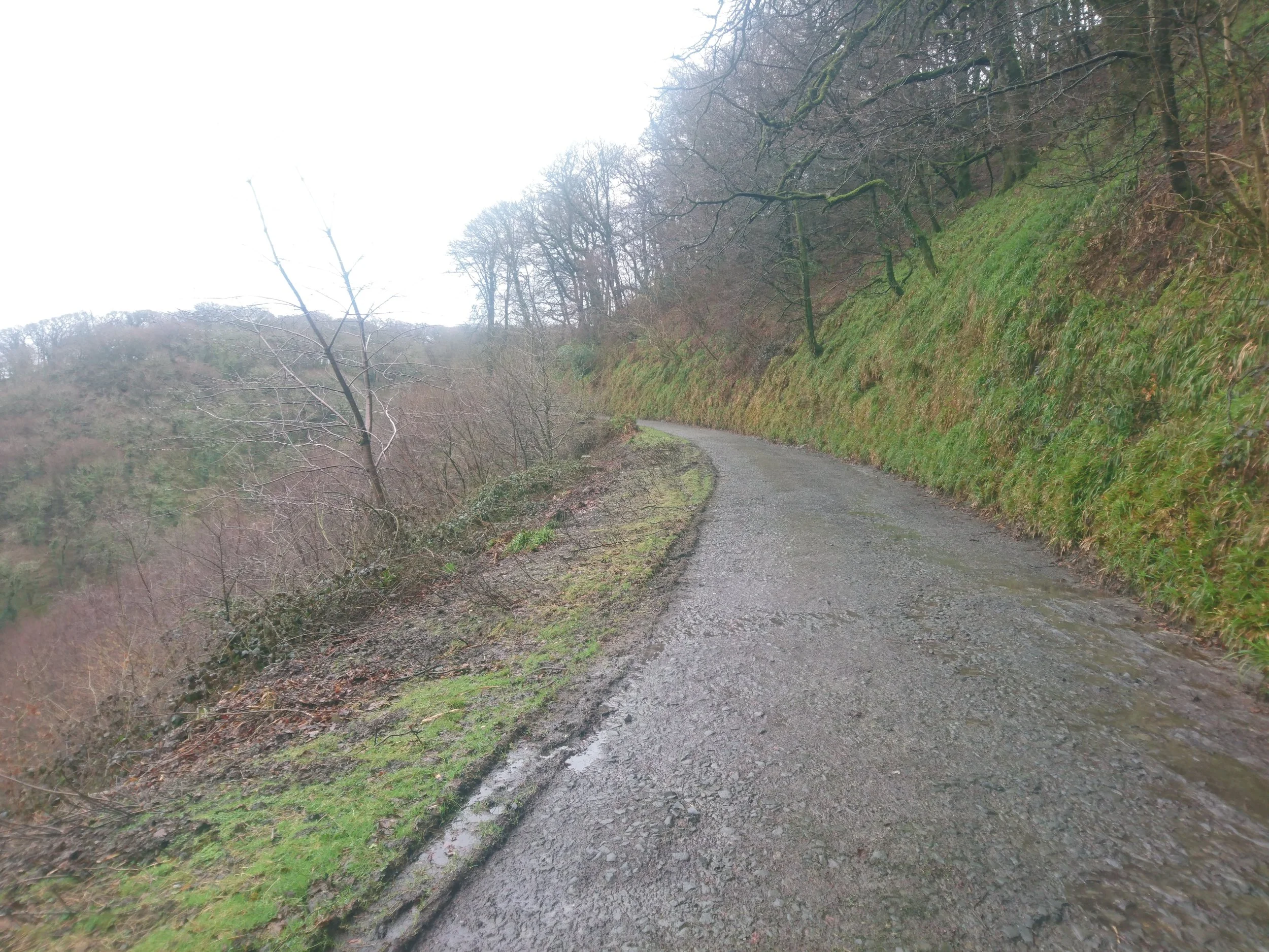
Now on the right path The Hobby Drive, a private road through the Clovelly Estate, I made very quick progress as the surface was good and the undulations not too severe. The coast path leaves The Hobby Drive near Barton Wood and heads out through farmland, where I picked up a guest. The guest was Phil the Friendly Pheasant, who approached me as I entered the field and then started following me for several fields, going under the gates/stiles. He was even happy for me to stroke him. I do not know how he survived the hunting season, nor why he was so friendly.
The path continued along the clifftops, before dropping down at Bucks Mill, a very picturesque hamlet. It then rose steeply back onto the cliffs. For some reason my body got very tired at this point and it really wanted to stop, but I managed to persuade it to carry on. The rain had also got heavier and it did not let up for the rest of the day. I told myself as long as I could find a sheltered spot out of the rain, I would take a break at Peppercombe. At the end of the path down to Peppercombe, I was greeted what looked like a farm building but turned out to be an old Coach House that the National Trust have slightly restored and leave open for weary travellers to sit inside. This was very welcome (and very unusual as most of the NT buildings are closed in winter) and I sat down and had some of my snacks and water.
The next stage was very scenic on fairly low cliffs but was much more up and down that I had realised from my map, a couple of times dropping right down onto the beach. It was also becoming evident how close to flooding we already are, with new streams literally forming as I was walking, and the ground already waterlogged and becoming increasingly muddy again. I was becoming used to the slip and slide technique in the mud that I hadn’t had to use for several weeks. A mile or so before Westward Ho! the path became a gravelled track and I made quick progress from there to Westward Ho!.
Autocorrect/grammar in Word really doesn’t like Westward Ho! and it must surely be the only place name with punctuation in its title. The reason is that the town was named after a bestselling book of the same name which was set in nearby Bideford and they thought it might help tourism. There was a proper food shop here so I stocked up on a few things I was running low on.
From Westward Ho! the path heads out onto what feels a bit like a wasteland and does a lap of a golf course which my OS map calls Northam Burrows Country Park. Even on a wet day this section had a fair few dog walkers and one dog in particular the owner had to pick up in the end because he did not like my backpack one bit. It is strange how dogs can’t seem to tell my human form when I am in all my waterproofs and with the backpack cover on, as they behave very differently.
I was glad to finally reach the finish point of my day Appledore, which is also the location of my rest day. I had a very kind offer from Sian to put me up for the 2 nights and was treated to a very nice home cooked dinner for which i am very grateful
So a wet but successful day, which though I was tired was still mostly enjoyable. I am incredibly glad it is my rest day as my body is very tired after this week.
NB - Unfortunately I couldn't risk my phone or camera in the rain for the second half of day, so photos from first half.


