Day 011: Cliffsend to Dover
Distance: 23.55 miles
Ascent: 1320 feet
Weather: Overcast, some sunny spells, Dry
Accommodation: Dover Backpackers Hostel
Well I should own up to the fact that I had made a bit of a schoolboy error. Yesterday evening I knew my phone would run out by this morning, and I also knew I hadn’t printed a map for todays route. I was therefore mapless! Luckily, I have a fairly photographic memory, so had looked at the map a few times yesterday evening, and also for the one harder area around Sandwich I had made notes. I do not intend to put myself in this situation again, though it caused no issues today.
As today was quite long, I set of earlyish around 7 whilst it was still dark. There were more turnings than I had expected at the beginning of the day, and I am glad there were lots of English Coast Path Signs to direct me whilst it was still dark. Unfortunately, they did direct me an alternative route (presumably other route was shut) which meant slightly more edge of dual carriageway walking. Though it was not long till I got to Sandwich.
It was light by the time I got to Sandwich and there were some interesting buildings, bridges and boats, this part of Sandwich seemed very nice. There was also an American military ship on the river, a P22 apparently, built by the Germans for the Americans just after the second world war, so that they could patrol the Rhine in cold war times. Apparently, this boat was used in the recent Dunkirk film.
From Sandwich there was an annoying cut back to follow the river almost back to where I had started, before it bends around the end of the first of many golf courses and begins to head South. I think I had passed 3 golf courses by the time I reached Deal. Though they all merged into one super course. Whilst walking along the edge of the shingle beach I saw my first seal, though wasn’t quick enough to get a picture before he dived under and was gone. I was actually quite surprised to see a seal here.
Deal has some nice little buildings (and some not so nice,) including the pier itself which though simple and concrete I actually liked. I also noticed a little tower, which is the Deal Timeball Tower established in 1855 that has a ball that would be triggered (dropped) by a signal from Greenwich Royal Observatory at exactly 1pm each day.
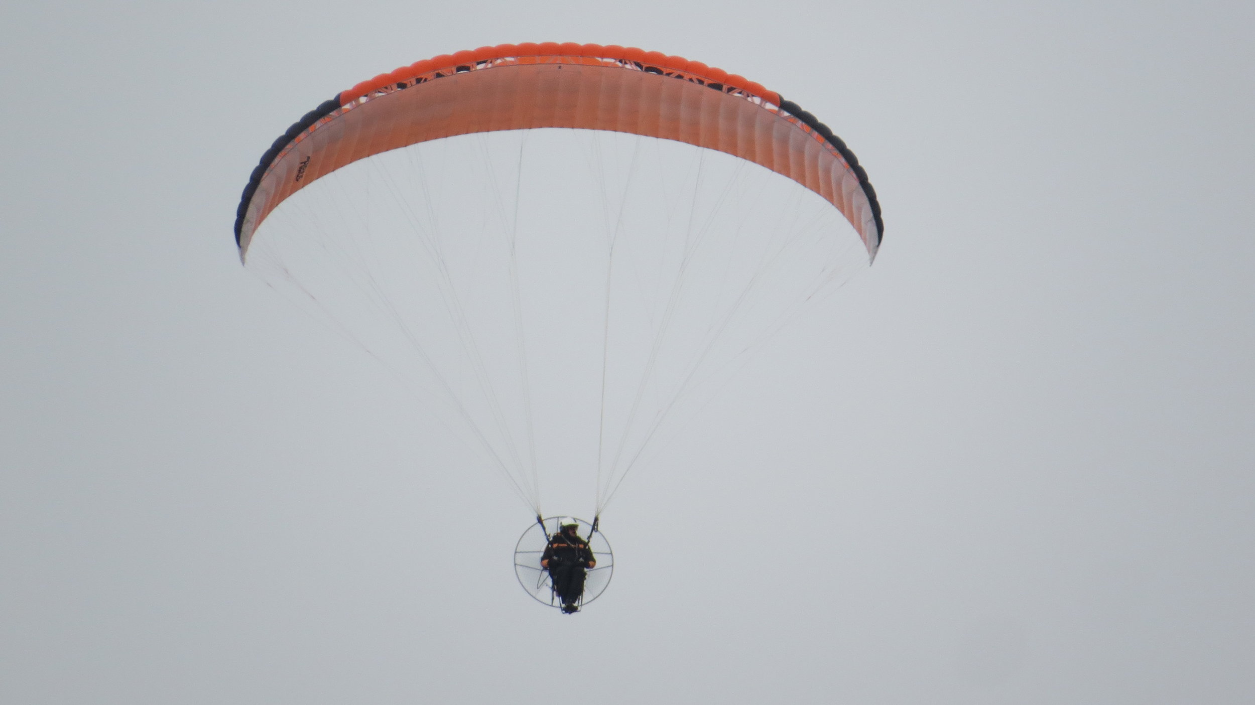
After about 9 miles of in essence following a shingle beach, just passed Kingsdown you have to climb the steep steps and up onto the cliffs. The paths from here on in were beautiful, slowly following the cliffs, apart from a slightly unnecessary drop down over 100 steps to St Margaret’s at Cliffe and almost immediately back up again. I was passed overhead by a flotilla of 5 paramotors, shortly before passing the magnificent South Foreland Lighthouse.
At this point the sun was trying to come out and producing some beautiful rays in the sky as I traversed the white cliffs of Dover, and looked down upon the port. The only negative was a coastguard helicopter circling several times, which hopefully wasn’t for anything serious. From here I could see Dover Castle sat on the next hillock but my path slowly wended its way down passed the port into Dover town where I found my little hostel that I had booked for the night. It is a bit of a slum, but a bed, water, electrics and luke warm shower is better than nothing.
A great day, especially the second half up on the cliffs. It also now feels like I have reached the South coast which I will be following for the next few weeks.


