Day 264: Peterhead to Newburgh
Distance: 22.94 miles
Ascent: 7263 feet
Weather: Sunny Spells & Lots of SHowers
Accommodation: Wild camp Near Newburgh
I was so comfy in the static caravan, and with the wind still quite strong outside it was again a struggle to get myself going. In fact I did some route admin and wrote yesterday’s diary up before leaving so it was almost 9 by the time I left. The forecast was for sunny spells and dry today which I was happy about and the winds were meant to start weakening. The route plot for today was slightly strange as I believed about 95% would be on paths but on the OS map less than 20% was on paths, so it would be interesting to see how things would go.
I had a couple of obstacles to get around right at the beginning of the day. Firstly the prison which didn’t have an actual path but could easily be walked in front of via some grass and then the road. Secondly the power station which did have an actual path, and the path was actually very nice and took me to Boddam.
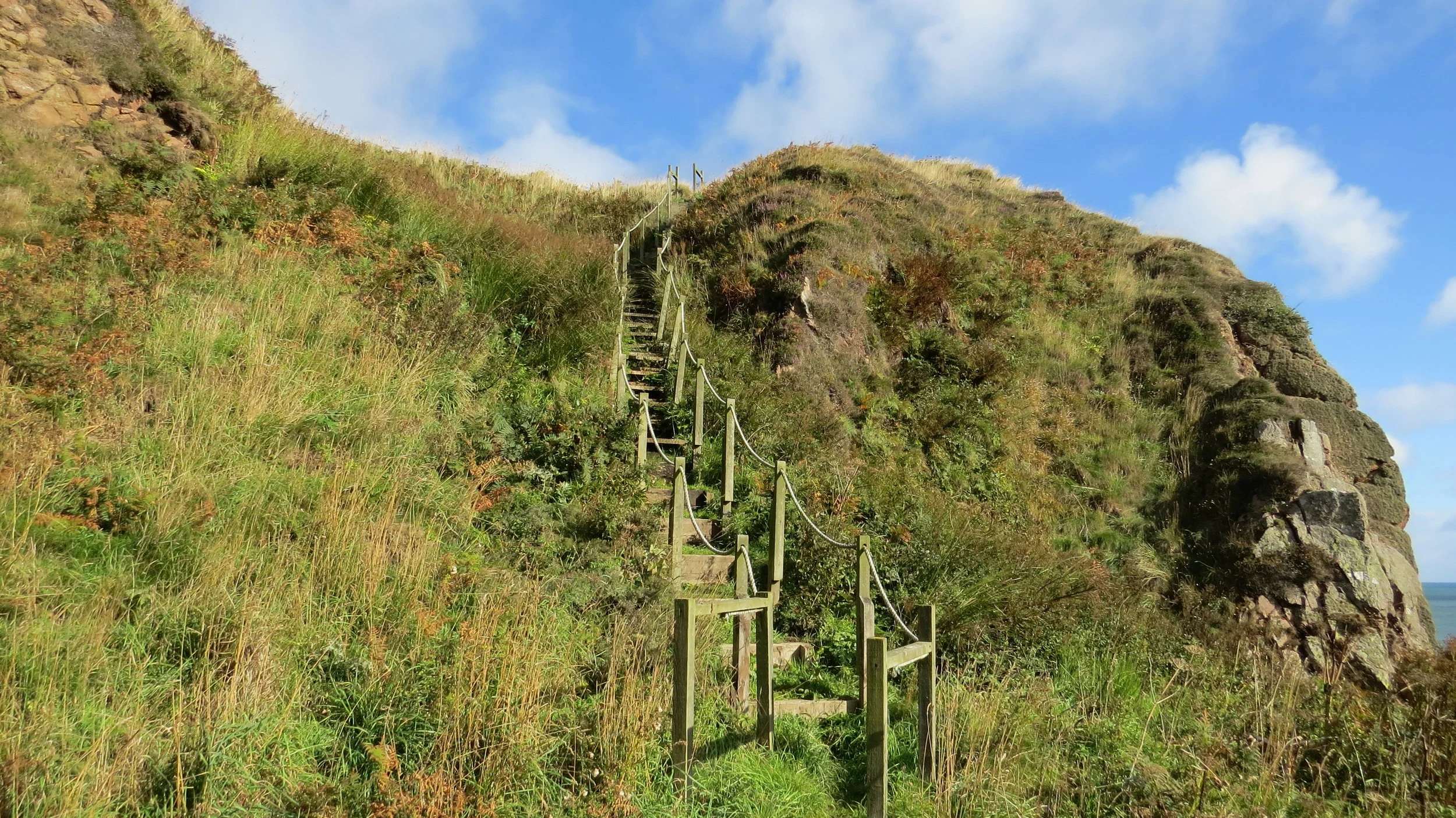
From Boddam though there was nothing on the map I believed there was a core path all the way to Cruden Bay. As with many core paths there was no waymarker/sign at the beginning and the path itself was not waymarked near the start and was fairly overgrown, in fact a couple of times quite hard to know if you were following a path. I was actually thinking at the time about how this path was going to make me go into a rant about core paths in the diary. But then suddenly after a mile it randomly became a much more defined path there were waymarkers and even stairs and bridges. I think this might be because this part was technically a nature reserve but either way the cliffs and rock formations here were stunning.
I was now on the high cliffs and was glad the wind had dropped a bit compared to the last two days as I wouldn’t have walked this section in really strong winds. I continued along the cliffs passing an old quarry that had now been flooded, then passing Slains Castle before finally reaching Cruden Bay. Contrary to the weather forecast there had been a couple of quite heavy showers on this section and it would turn out that sun followed by showers continuously was the order of the day.
In Cruden Bay I got some food in the little shop, another shop that sold absolute crap, and then sat outside on the bench and ate my selection of very unappetising looking things. It started to rain just as I had finished eating, so I just got straight on with the walk. A few hundred meters from the bench I crossed the river on the ‘Ladies Bridge’ and I have no idea why it is called that. But once across I followed the sand all the way to the end of Cruden Bay and took a little path up to Whinnyfold.
Again I thought there was a path from Whinnyfold to Collieston but it was not on my map and I was so happy when I saw a footpath sign pointing towards Collieston from Whinnyfold. There was a lot of cliff paths before reaching Collieston though it was clear the whole way. The path wound around every little outcrop and climbed up and down continuously along the undulations. It was a tiring section and made my ankles very tight.
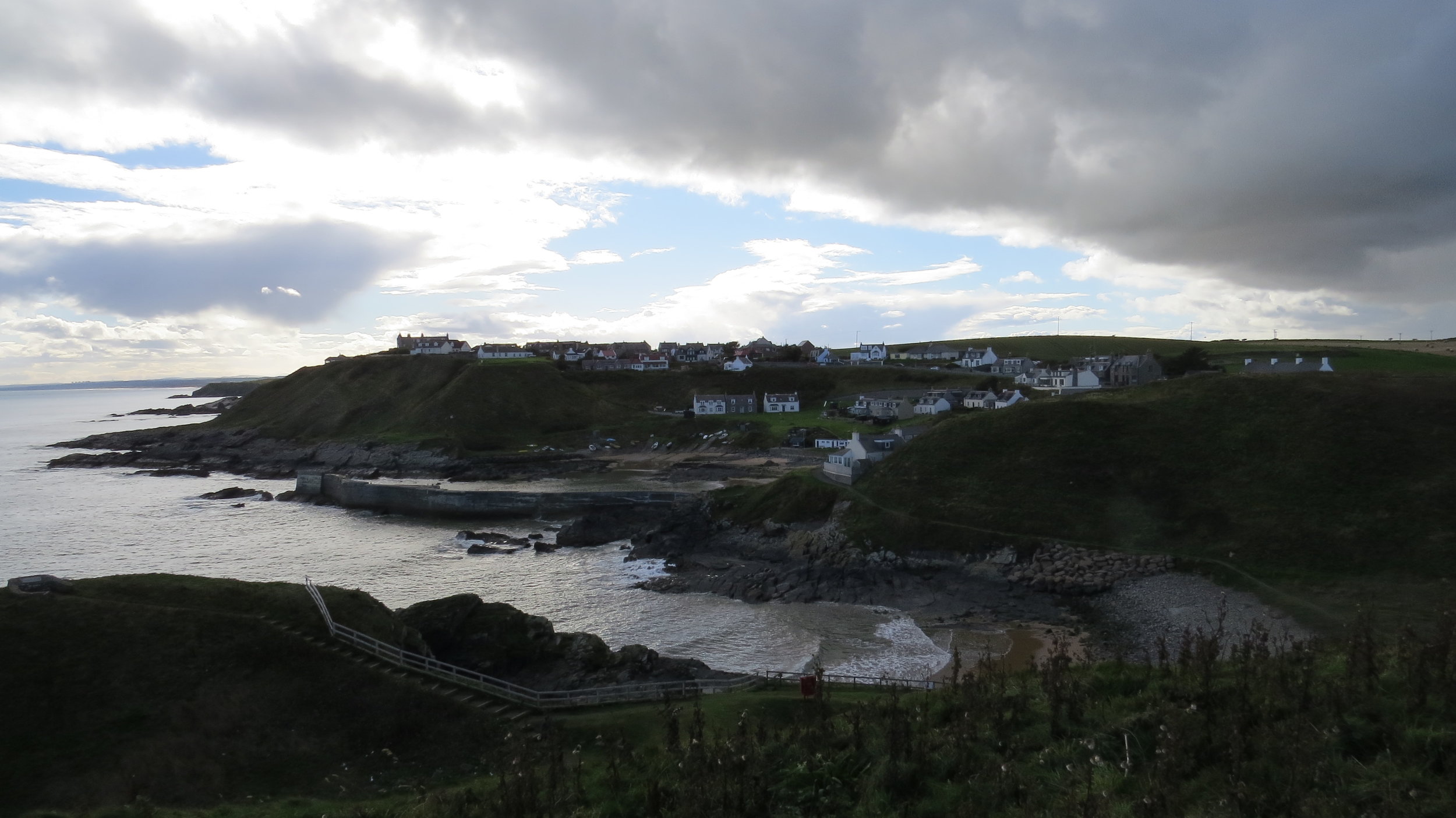
I reached Collieston which was a lovely village and was quite keen to get a coke to give me a boost of energy but it was 4:03 and the shop said it had closed at 4:00! Anyway as it was starting to get late I pushed straight on and up into the nature reserve on the other side of Collieston. I did my loop of Forvie National Nature Reserve before heading inland to cross the River Ythan on the road bridge.
I had reached Newburgh roughly my end point for the day, I got some supplies in the shop (in fact a good local shop) and then headed down the track passed the golf course to the dunes. I now just had to find somewhere to pitch. I found somewhere very quickly but it was only ½ kilometer or so from the car park (even if a quiet car park) so I was worried about dog walkers but as I was so tired I pitched here anyway.
The sun was just going behind the dunes as I finished pitching the tent and the temperature dropped drastically so I got straight into the tent & sleeping bag.
A very scenic day and fortunately all the paths I had hoped existed, even if not on the map, had existed so though the terrain was moderately tough there was always a path.


